WHY CHOOSE US
Experts Trusted Us




Landscaping
Lorem ipsum dolor sit amet, consectetur adipiscing elit. Duis at est id leo

Pruning plants
Lorem ipsum dolor sit amet, consectetur adipiscing elit. Duis at est id leo
Lawn Maintenance
Lorem ipsum dolor sit amet, consectetur adipiscing elit. Duis at est id leo
ABOUT US
Nurture The environment
Lorem Ipsum is simply dummy text of free available market typesetting industry has been the industry's standard dummy

Lorem Ipsum is simply dummy text of free available market type setting industry
Ligula molestie
Dolor sit amet onsectetur adipisicing elit, sed do eiusmod tempor incididunt
Magna vivamus
Lorem ipsum dolor sit amet, consectetur adipisicing elit, sed do eiusmod
Efficitur velit
Lorem ipsum dolor sit amet, consectetur adipisicing elit, sed do eiusmod
WHAT WE DO
Services for You
Landscaping
Lorem ipsum dolor sit amet, consectetur adipiscing elit. Duis at est id le

Pruning plants
Lorem ipsum dolor sit amet, consectetur adipiscing elit. Duis at est id le

Lawn Maintenance
Lorem ipsum dolor sit amet, consectetur adipiscing elit. Duis at est id le
Lawn Maintenance
Lorem ipsum dolor sit amet, consectetur adipiscing elit. Duis at est id le

Features Product
OUR GARDEN STORE

Lorem ipsum dolor sit amet

Lorem ipsum dolor sit amet
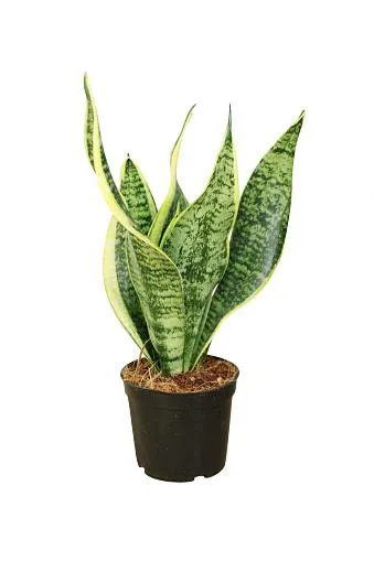
Lorem ipsum dolor sit amet
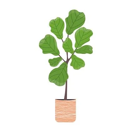
Lorem ipsum dolor sit amet
MEET OUR OWNER
Jeff Weidner


Finished Work
Dummy text of free available
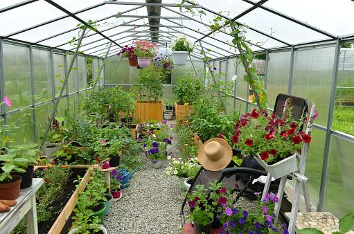
Finished Work
Dummy text of free available

Finished Work
Dummy text of free available

Finished Work
Dummy text of free available

Finished Work
Dummy text of free available

Finished Work
Dummy text of free available
CLIENT TESTIMONIALS
What our clients say

Jane Doe
Lorem Ipsum is simply dummy text of free available market typesetting industry has been the industry's standard dummy text ever. Lorem Ipsum is simply dummy text of free available

Jane Doe
Lorem Ipsum is simply dummy text of free available market typesetting industry has been the industry's standard dummy text ever. Lorem Ipsum is simply dummy text of free available

John Doe
Lorem Ipsum is simply dummy text of free available market typesetting industry has been the industry's standard dummy text ever. Lorem Ipsum is simply dummy text of free available
ATTENTION: Farmers, General Contractors, commercial real estate owners, brokers and agents
Photogrammetry Services in North Carolina
Transform Drone Images Into Accurate 3D Models, Measurements & Actionable Data
Seeing a property from above is valuable. Measuring it accurately is even more powerful.
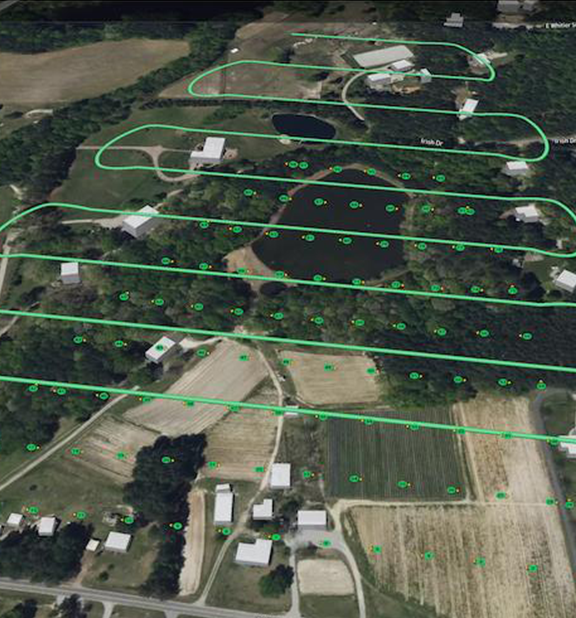
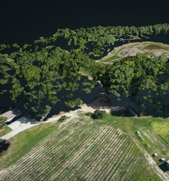
Carolina Crop Spray provides professional drone photogrammetry services that convert hundreds or thousands of overlapping aerial images into detailed 3D models, digital surface models, point clouds, elevation maps, and highly accurate measurements.
Whether you're managing a construction project, developing property, monitoring agricultural land, documenting historic structures, or calculating stockpile volumes, photogrammetry provides reliable data that supports better planning, smarter decisions, and improved project management.
What Is Photogrammetry?
Photogrammetry is the science of creating accurate digital 3D models and measurements from overlapping aerial photographs.
Using specialized flight planning and advanced processing software, hundreds or thousands of high resolution images are combined to produce detailed digital products that can be measured, analyzed, and shared.
Unlike traditional aerial photography, photogrammetry creates information you can use for engineering, planning, documentation, and long-term project management.
Why Use Drone Photogrammetry?
Projects often require more than photographs.
They require accurate measurements, elevation information, volumetric calculations, and detailed site documentation.
Drone photogrammetry delivers this information quickly, efficiently, and with significantly less disruption than many traditional surveying methods.
Business Benefits of Photogrammetry
Measure distances, areas, and volumes.
Monitor changes over time.
Improve project planning.
Reduce unnecessary site visits.
Document existing conditions.
Improve communication between stakeholders.
Create permanent digital records.
Support faster and more informed decision making.
Who's This Perfect For
Farmers
Land Developers
commercial property owners
investors
real estate agents
property managers
Aggregate & Mining Operations
restaurants
general contractors
asset managers
golf courses
engineering firms
architects
municipalities
planning boards
Whether you're listing a property for sale, attracting new tenants, documenting improvements, or presenting a project to investors, professional aerial imagery helps communicate value with clarity and impact.
Why Choose Carolina Crop Spray and Aerial Solutions for Your Photogrammetry Needs?
Collecting drone images is only the first step.
The value comes from transforming those images into useful information that helps you make better business decisions.
Carolina Crop Spray and Aerial Solutions combines professional drone operations with advanced photogrammetry workflows to produce reliable mapping products that support construction, agriculture, land development, engineering, and property management.
Every mission is planned with attention to safety, consistency, and data quality to ensure dependable results from start to finish.
Photogrammetry Applications
Every project has different objectives. Carolina Crop Spray customizes each mission to deliver the information that matters most to your business.
3D Site Modeling
Create detailed three-dimensional models of construction sites, commercial properties, agricultural land, and infrastructure projects. Interactive 3D models help teams visualize existing conditions and communicate project information more effectively.
Earthwork & Grading Documentation
Monitor excavation, grading, and site development while documenting progress throughout every phase of construction.
Measure aggregate, soil, mulch, compost, or other material stockpiles quickly and accurately to improve inventory management and operational planning.
Elevation & Terrain Mapping
Generate digital elevation models that help identify drainage patterns, slopes, grading issues, and topographic changes across a property.
Existing Conditions Documentation
Capture a permanent digital record before construction, restoration, excavation, or major property improvements begin.
Historic Structure Documentation
Develop highly detailed digital models that assist architects, engineers, preservation specialists, and historians with restoration planning and long-term documentation.
Our Process

Consultation
We discuss your project objectives, required deliverables, accuracy requirements, and intended use of the final data.

Mission Planning
Each flight is carefully planned using automated flight paths that maximize image overlap and ensure complete coverage of the project area.

Data Collection
Our drone captures hundreds or thousands of overlapping high resolution photographs designed specifically for photogrammetric processing.
Data Processing
Advanced software processes the imagery into accurate digital models, maps, and measurement products tailored to your project requirements.
Delivery
Completed files are delivered digitally in formats suitable for engineering, planning, documentation, presentations, and long-term project records.
Ready to get started?
STILL NOT SURE?
Frequently Asked Questions
What is the difference between an orthomosaic and photogrammetry?
An orthomosaic is one product created through photogrammetry. Photogrammetry also produces 3D models, elevation maps, point clouds, contour maps, and volumetric calculations.
Can photogrammetry replace a licensed land survey?
No. Photogrammetry provides valuable mapping and measurement information, but it does not replace a licensed boundary or legal land survey where one is required.
How accurate are drone measurements?
Accuracy depends on several factors, including flight planning, ground control, equipment, and project requirements. We can discuss the level of accuracy appropriate for your application.
What industries use photogrammetry?
Construction, engineering, agriculture, mining, real estate, historic preservation, infrastructure management, and environmental consulting all benefit from photogrammetry.
What happens if the weather is poor?
Flights may be rescheduled to ensure safe operations and the highest quality results. We do not fly in rain or high winds.
Do you travel throughout North Carolina?
Yes. Carolina Crop Spray and Aerial Solutions proudly provides commercial drone photography services across North Carolina.
Related Services
FOLLOW THE LINKS BELOW TO RELATED SERVICES
need drone photos and videos
Turn Aerial Images
Into Business Intelligence
Professional photogrammetry delivers far more than impressive visuals. It provides the accurate measurements, detailed models, and reliable documentation needed to plan projects, monitor progress, manage assets, and make informed decisions.
Whether you're managing farmland, developing property, overseeing construction, or documenting historic structures, Carolina Crop Spray provides photogrammetry solutions that transform aerial imagery into valuable business information.
Request Your Free Quote Today
Partner with Carolina Crop Spray and Aerial Solutions to turn drone imagery into accurate data that helps you plan smarter, measure with confidence, and manage your projects more effectively.
Add Subtext text. Click "Edit Text" to update the font, size and more.
To change and reuse text themes, go to Site Styles.
Call Carolina Crop Spray to discuss your project and schedule your flight.
(910) 400-8859

Carolina Crop Spray LLC
Copyright 2026 All rights reserved
6108 Tiffield Way Wake Forest, NC 27587
[email protected]
(910) 400-8859

